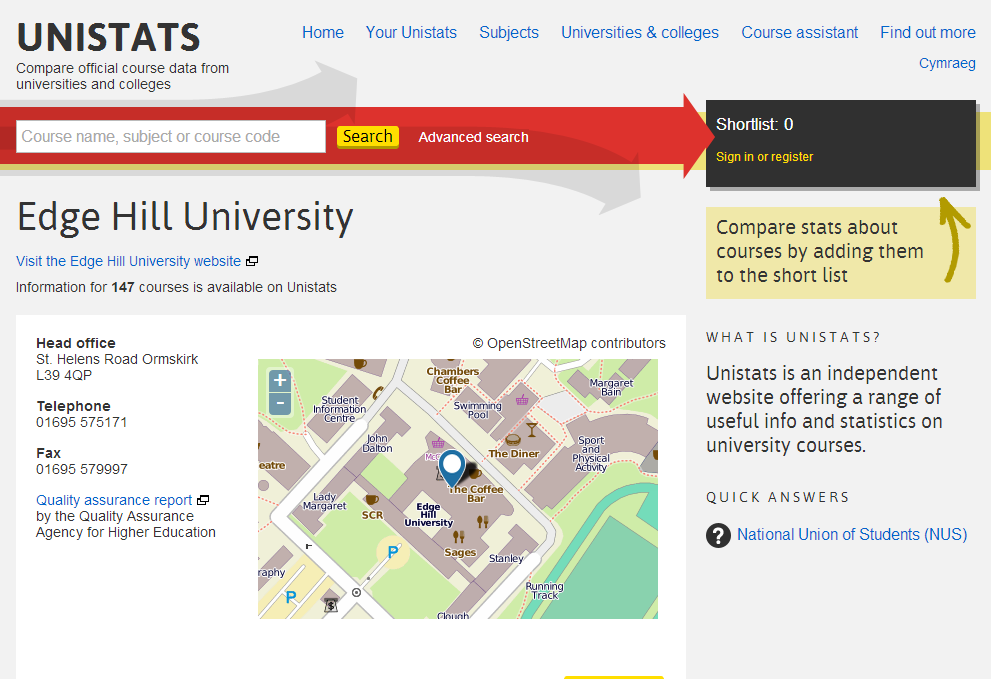
Yesterday Unistats was relaunched alongside the new KIS widgets. One of the most interesting things for me is the use of OpenStreetMap for mapping. This alone justifies our decision at Edge Hill to improve the quality of our maps on OSM so our Unistats page looks quite nice:
Many other universities are pretty well mapped too – usually city based campuses or those where an enthusiastic geek has done some work but looking around universities in the North West something caught my eye.
The University of Liverpool looked like it was in the wrong place.
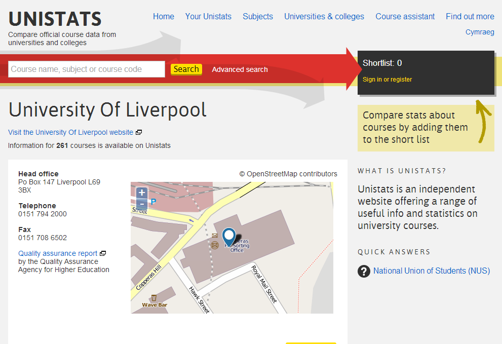
Instead of being centred on the top of Brownlow Hill, Unistats have plotted the map based on their postal address:
PO Box 147, Liverpool, L69 3BX
Presumably the Postcode Address File still lists this as the old Royal Mail sorting office on Copperas Hill which closed two years ago moving sorting to Warrington. At least if people turn up there it’s not far for them to walk up the hill!
While useful, postcodes aren’t the best identifiers for locating places – websites should really allow the use of co-ordinates to override postcodes for situations like this where the postcode doesn’t match an organisation’s physical presence.
It’s made slightly more embarrassing because the Copperas Hill site has been bought by Liverpool John Moores University to house several departments from 2014.

